There's only two scenery files I could find online for ORSU, one is outdated and the other is incorrect. I decided to make my own scenery using ADE, SBX, and Paint.NET.
Charts are included (with the exception of SID for 31) and are official, directly from Sulaimaniyah Int'l Airport's website.
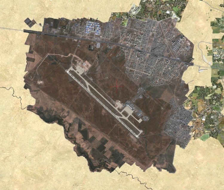
All taxiways, aprons, building locations, and parking, are accurate and realistic. This scenery was made for P3Dv4+ and can be used on VATSIM.
Name: Sulaimaniyah Int'l Airport
ICAO: ORSU
IATA: ISU
Country, region: Iraq, Kurdistan
Charts are included (with the exception of SID for 31) and are official, directly from Sulaimaniyah Int'l Airport's website.
All taxiways, aprons, building locations, and parking, are accurate and realistic. This scenery was made for P3Dv4+ and can be used on VATSIM.
Name: Sulaimaniyah Int'l Airport
ICAO: ORSU
IATA: ISU
Country, region: Iraq, Kurdistan
→ Размер:
23 MB
→ Дата:
3 года назад (12.05.2021 18:03)
→ Автор:
User454 (T.M.)
→ Разрешил модератор:
Lenya69
→ Лицензия:
Freeware - Бесплатная версия, с ограничениями в распространении
→ Скачан:
144 раза
Здесь только 2 файла сценария, я могу найти онлайн для ORSU один устарел, второй неправильный. Я решил сделать свой собственный сценарий, использую ADE, SBX и Paint.net.
Схемы прилагаются (за исключением SID для 31 полосы ) и они официальны , прямо с сайта Sulaimaniyah Int'l Airport's .
Все рулежки, перроны, здания, локации и парковки, точны и реалистичны. Этот сценарий был сделан для P3DV4+ и может быть использован в VATSIM.
Name: Sulaimaniyah Int'l Airport
ICAO: ORSU
IATA: ISU
Country, region: Iraq, Kurdistan − Annonim, 3 года назад, #
I know some Russian so I can understand you, but I can't translate this accurately into Russian.
It's also ironic how you're saying you don't understand, but you misspell words in your own language.
Even so, anyone who is into aviation and doesn't know English, can easily understand this. It clearly shows that's it is scenery, what flight simulator it was created for, where the airport is located, the ICAO code and the IATA code of the airport, and the name of the airport. You don't need to read the description to grasp the concept of what this is, judging by the screenshots is enough, let alone the internationally recognized aviation related words (such as "ICAO"). − User454, 3 года назад, #